There are 12 bridges crossing the arboretum waterway. If a wiki'er were feeling industrious, he or she might visit each bridge and then describe here the foliage in the different areas (e.g. the Redwood Bridge section below says that it's in the Redwood Grove section of the Arboretum).
The following names are suggestive and not authoritative. As far as we know, these bridges do not have official names!
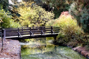
Easternmost Foot Bridge
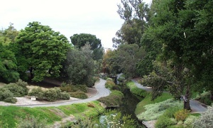 Taken from east end of Arboretum
 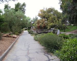 Closer view of same bridge This first bridge is similar in style to several of the other foot bridges. It is close to the Davis Commons
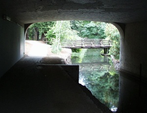
Old Bridge (1919)
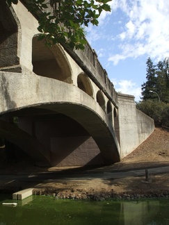 A view from the bike path passing underneath.
Before the A Street bridge was put in this was the main traffic bridge for cars and wagons. It connected Davisville to the immediately adjacent Tremont Township to the south, and by extension, it accessed the wagon road that eventually branched off towards Sacramento in the east and Benicia to the west. This road was an early form of Old Davis Road. Following the creation of the arboretum, the road layout has since changed, and the bridge now mainly serves foot and bike traffic from Solano Park apartments to UCD parking lot #10, although grounds crews also drive across from time to time. According to the keystone, the bridge was built in 1919, but county maps show an earlier version of the bridge in existence since at least 1900. It did not seem to have an official name; it was simply labeled "bridge" or given no label whatsoever on maps.
When the bridge was finally built, it came far too late for many Tremont residents who had been fording the Putah Creek for decades. According to historian David Vaught in his book, After the Gold Rush, "Tremont residents often could not ford the canal for weeks on end after a bad storm, which meant that to get to Davisville, they had to ride several miles to Dixon across the soggy prairie and then take the train. Their repeated cries for a public bridge fell on deaf ears, as the Solano Board of Supervisors continued its tradition of refusing to spend even a dime on these outlying residents while gladly taking their tax dollars. As late as 1897, Tremont farmers were still trying to secede from their county to escape the clutches of 'the Vallejo-Fairfield ring that oppresses us.'"
Although on some old maps it may appear as though the bridge connected directly to University Avenue, this was not the case; University Avenue always terminated a block to the north of the bridge; however, there was an alleyway that continued on through Rice Lane, ending up near the bridge. The only major street in Davis that connected to the bridge was Front Street, now known as 1st Street.
The keystone of this bridge was the subject of a short-lived Mystery Picture..
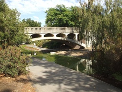 Looking at the bridge from the west.
  The bridge is now suffering from some structural damage.
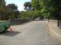 View from the Solano Park side, on top.
 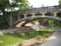 From the east side of the bridge now hangs a water pipe.
 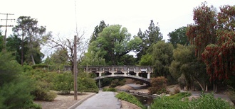 View from near the "eastern most bridge"
A Street Bridge
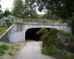 The path only allows access on the south side of the water here Under this bridge you'll find a mural painted by UCD entomology students.
Redwood Bridge
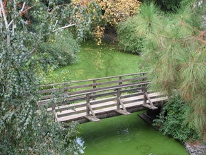 The bridge with the creek looking at its worst.
This bridge no longer exists. It once connected the Arboretum Redwood Grove to the Art Buildings, but it was removed in late 2010/early 2011. If you try and cross here now, you'll just fall into the creek and turn into a mutant. :(
Concrete Spafford Bridge
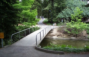 The most spartan and functional off all the non-vehicle bridges. If it were not for steep approaches on both banks it would be nicely accessible.
Wooden Spafford Bridge
Mrak Hall Bridge
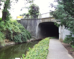 Eastern approach
 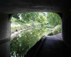 looking west The vehicle approach to Mrak Hall. There is only a path on the north side of the arboretum here, and bikes should not be ridden on the narrow path.
Mondavi Foot Bridge
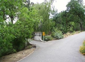 Almost hidden by growth on this side
 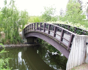 This side is more visible This bridge predates the Mondavi Center by many years. It is also near King Hall.
California Avenue Bridge
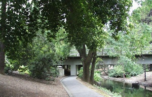
 Part of the UC Davis Loop, located south of Academic Surge. There are signs about bats and signs that suggest you walk your bike under the bridge.
Cole Facility Foot Bridge
Earth Bridge
Lodge Bridge
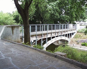
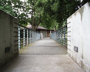 The view back across the bridge to the Putah Creek Lodge This is one of the more striking bridges when it is painted and in good repair.
Also see:
2005-05-05 00:11:45 These pictures are absolutely beautiful! I didn't realize how many bridges there actually are, or that they all had names (unless you named them yourself). Nice documentation and photos! —KalenRidenour
2008-08-07 22:03:13 What kind of camera was used to take these pictures? They are incredible... —SunjeetBaadkar
- Jason took most of them, but I think he's a pretty good photographer regardless of what camera he uses (also I don't know what he uses). My few photos were taken with a Fuji A700, the same camera used by National Geographic photographers (not).
2008-10-01 12:05:39 I have observed bats emerging from the bottom of the mrak hall bridge —ChrisWaterstraat
2008-10-10 20:37:09 when did u see the bats? i've been looking everywhere but i cant find any... —itsedmondfoo




Leave a comment:
You must be logged in to comment on this page. Please log in.