This page is part of the Plasticspace Project.
Census block 260810115002017
Description
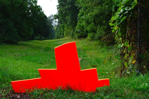
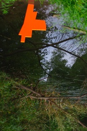
This is an odd area that overlooks Pannell road and the path of Indian Mill Creek. The space is near many auto scrap yards both along Pannell Road and off of Alpine. The actual space is hilly and wooded with a long grassy area running down the middle which looks similar to a fairway on a golf course. The outer woods are bordered by residential properties creating a greenspace beyond numerous back yards. The space is most easily accessed from Garfield Avenue where it dead-ends at Glenaire Drive.
There are many stories related to the space. Sand from the space was used to build up the roadbed for the nearby US. 96 expressway. The space is rumored to have been the home to 2 hermits who lived in small houses. The ruins to these structures are still visible to those who know where to look. There are also rumored to be some old junk cars that kids have used for play.
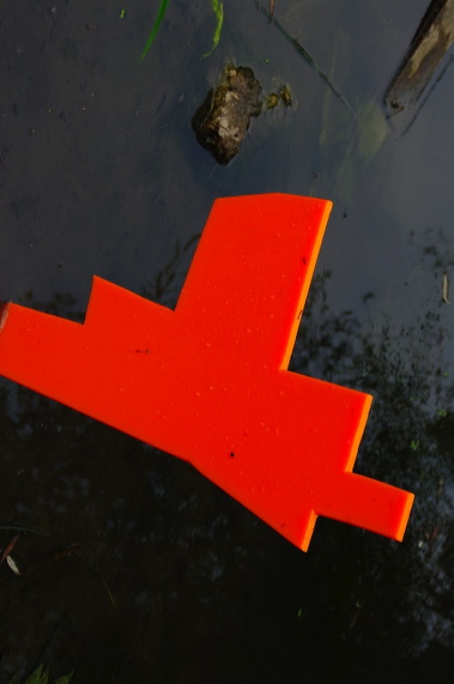
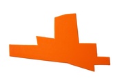
It is curious that the shape of the space has some correlation to the shape of Texas and there is a Texas Street in the neighborhood. What might be the reason for naming the street "Texas"?
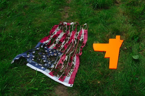
On one visit to the space a burned American flag was found. It was not clear what political point might be intended with the flag, if any.
Shape Associations
- texas
- car or truck body
- cowboy hat
- steamship
- cityscape
Map
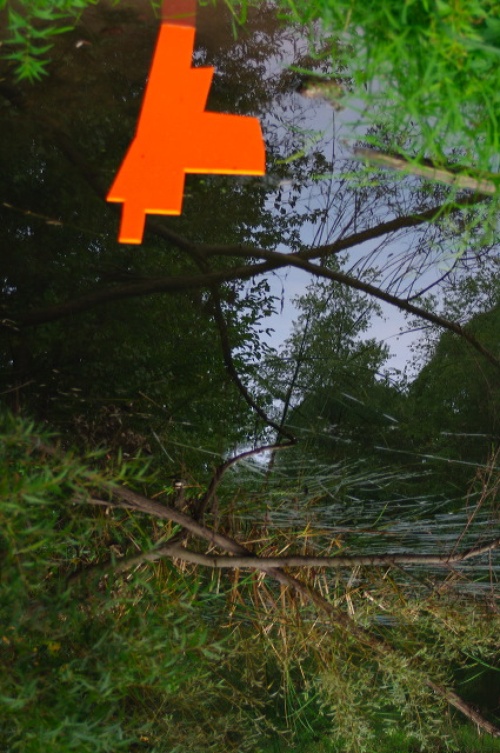
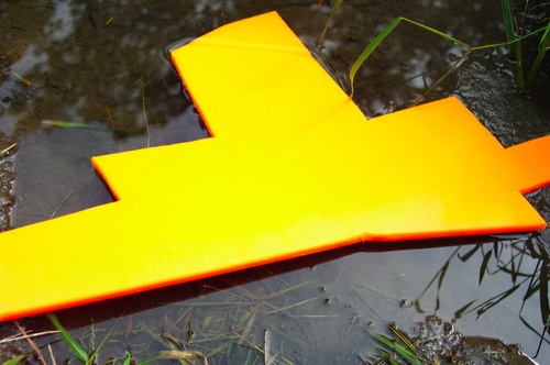
Bodies of Water
- Indian Mill Creek
- Drainage system
Material Notes
- burned flag
- sand
- nearby junk cars and scrap yard
Disrupted and Dead-end Streets
- Garfield Avenue
- Glen Valley Drive
- Powers Avenue
- Harding Street
- Elderwood Drive
- Aberdeen Street
- Cogswell Street
- Roger Street
- Winslow Street
- Texas Street
- Rudgate Drive

