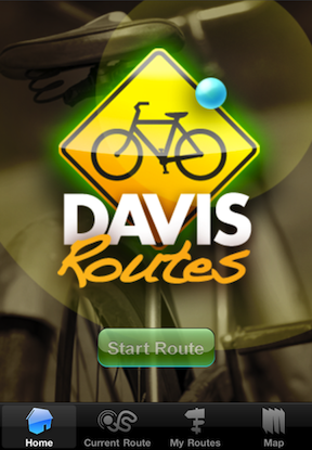
The iPhone application Davis Routes launched in January of 2011. Two graduates from UC Davis created the app, and it was conceived and developed around the Davis community. The application has two primary functions: mapping the community and tracking bicycle riders.
The map function at the bottom of the screen will center around the city of Davis, and it includes a view of the UC Davis campus. Use it to check out the bike pumps and air stations throughout Davis, along with bike shops, sites that include the Bicycle Hall of Fame and Aggie Stadium. The map view will display the UC Davis Bike Loop, Putah Creek Loop, and the Arboretum Path. Click the nearest button to find what is closest to you, in case you have a flat tire or some free time on your bike.
The tracking function will allow you to monitor and record your bicycle/walking route. While on your route, the application will keep track of your speed, total distance, and route time. You can save your routes, compare completed routes, and view your average and maximum speeds. Use the application to better your touring experience - and to refer back to good experiences in the past.
Check out an Aggie article about the app. The Full and Lite versions can be seen in the iTunes app store. Visit the official Davis Routes website


