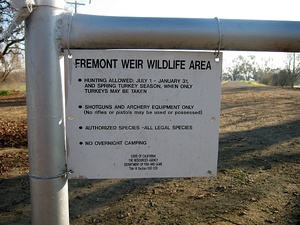
Fremont Weir State Wildlife Area is a 1,461 acre riparian area surrounding part of the Sacramento River north of Davis, and comprises the north end of the Yolo Bypass. The Fremont Weir State Wildlife Area is located south of the Sacramento River in the north end of the Yolo Bypass, just west of Fremont Landing. For most of the year, the area is accessible for a variety of outdoor uses, such as fishing, bird watching, and hunting. However, when the Sacramento River water level exceeds 33.5 feet, water spills over the top of the Fremont Weir, flooding the wildlife area. Unlike the Sacramento Weir to the south, the Fremont Weir is a simple overflow-type dam without sluice gates. Because flooding of the area is automatic when the river reaches 33.5 feet, it is important for visitors to monitor river levels at the weir when visiting the wildlife area in winter and spring when flooding is likely to occur. Note that flooding of this area does not occur in particularly dry years.
This DFG page has a map and some terribly inaccurate species lists. This is a great place for hiking & birding if you are considerate of private land owners and their dogs which surround the area. Don't miss the peacocks that run all over the road nearby the parking area. No
Hunting is allowed daily from July 1 through January 31 for all legal species, and during the spring turkey season, when only turkeys may be taken.
Parking lot is currently closed. Due to confusion over permissions for use of the parking lot, which lies on private property, the parking lot is closed.
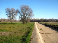 Fremont Weir
 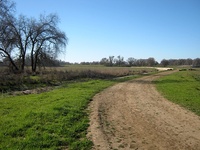 Dirt road next to Fremont Weir.
 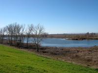 Lake at east edge of the wildlife area.
 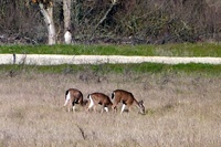 Deer grazing the meadow next to Fremont Weir.
Trip Reports
- Fremont Weir Wildlife Area mountain biking - BRT Insights 15feb2013
- See the Sacramento River by Car - Wet Year, Dry Year at Fremont Weir 20mar2012
- The Inkless Book: Where the River Flows 24june2012
Photos & Videos
- Fremont Weir Wildlife Area - BRT photos 15feb2013
- Fremont Weir Wildlife Area - Jim Hardwick photos 14feb2013
- Fremont Weir photos, March 2011 - AquaMaven
- Sacramento River Gloom at Fremont Weir State Wildlife Area - Ivan Sohrakoff photo 22nov2009
See nearby: Yolo Bypass Wildlife Area, Sacramento Bypass Wildlife Area.
See more: Hiking trails in Yolo County.
Footnotes
1. [http://www.davisenterprise.com/local-news/ag-environment/fremont-weir-parking-lot-remains-closed/]


