 Looking North from the Laurel Street Bridge
| Path |
| The river runs from Castle Rock State Park in the Santa Cruz Mountains (elev 2500ft) to the Monterey Bay |
| More information |
| http://en.wikipedia.org/wiki/San_Lorenzo_River |
The San Lorenzo River runs through the middle of Santa Cruz to the Monterey Bay, just past the Boardwalk. The San Lorenzo Riverway Trail runs along the river in the downtown and Boardwalk areas. San Lorenzo Park is adjacent to the river on the North end of downtown. The river was once used to transport logs from the Santa Cruz Mountains. (From Felton via a flume to the headwaters of the San Lorenzo River.) Increased water use has lowered the river through the years. In summer, the water flows at about 10 cubic feet per second. The maximum discharge recorded was 30,400 cubic feet per second, on Dec. 23, 1955. The current levees were put in by 1959 by the Army Corps of Engineers. They also deepened the water channel. (In response to the 1955 flood.) Constant deposits of silt require additional dredging. The river is about 25 miles long, not counting the tributaries that feed into the San Lorenzo River. The San Lorenzo River is the main drainage of the San Lorenzo River watershed. The watershed of the San Lorenzo River covers 138 square miles.
San Lorenzo River whitewater river kayaking guide provides information about boating on the river. The San Lorenzo River Directory lists local websites on river recreation and river conservation (sort alphabetically, 1=kayaking-canoeing, 2=rafting, 3=conservation, 4=fishing, 5=hiking-camping, 6=local information). There have been several accidents in the winter, when people try to ride the rapid flowing river on a flotation device. Many suffer from hypothermia. (The water is frigid in winter.)
The River was once deep enough in summer for small paddle boats. The boats were accessed on East Cliff Drive near Jessie Street. Renters were allowed to paddle them as far upstream as the bridge at Riverside Avenue.
The River Mouth area has been known for over a hundred years for its excellent surfing, though for some extended time periods the break is poor.
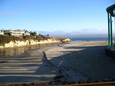 The river where it meets the bay at low tide
 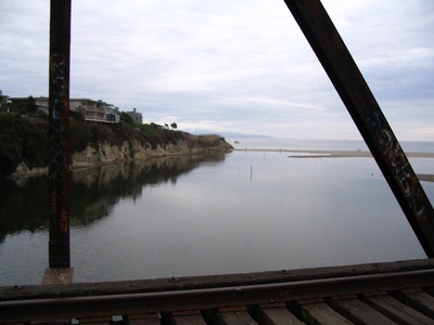 Looking downstream where the river meets Monterey Bay by the Boardwalk on an overcast evening
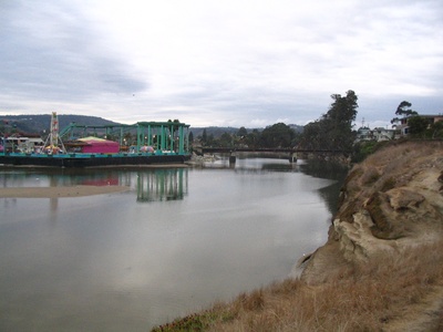 Looking upstream where the river meets Monterey Bay by the Boardwalk on an overcast evening
 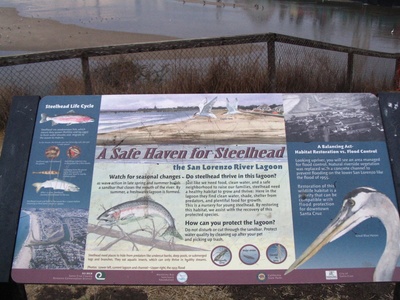 A sign about steelhead trout in the river
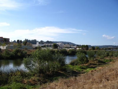 The view of the river and part of downtown from the trail
 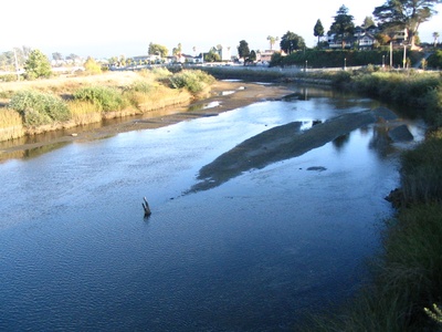 Looking South from the Laurel Street Bridge
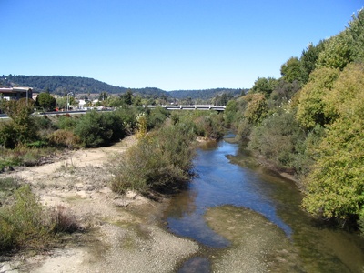 The river at low water level due to seasonal changes.
Streams that flow into San Lorenzo River
Principle Tributaries: Branciforte Creek Zayante Creek Fall Creek Newell Creek Bear Creek Boulder Creek Kings Creek


