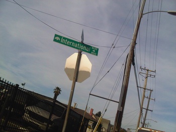
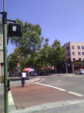
 photo by Himy
International Boulevard was formerly known as East 14th Street. It was given the new name by the City of Oakland in 1996 in an attempt to revise the image of the street and the neighborhood. 1
Historically it was the main road connecting Oakland with points south, including the then separate town of Elmhurst, as well as such communities as San Leandro and Hayward, and was alternately referred to as The Oakland Road, The Hayward Road (see 1912 map) or the San Leandro Road. By the 1936 map, it was labeled East 14th Street.
The western end of International Boulevard is at 1st Avenue, a block east of Lake Merritt. The boulevard then continues all the way to the Oakland San Leandro Border, where it becomes East 14th Street again and continues through San Leandro to Hayward, where it becomes Mission Blvd., but that's for another wiki. South of its intersection with 42nd Avenue / Highway 77, International Blvd / E. 14th Street / Mission Boulevard is also identified as California Highway 185.
It was also formerly a common ground for prostitutes and drug dealers, although International Boulevard has gotten better over the years with less crime, robberies, and gang activity.
 International Blvd. at the center of Fruitvale. (by mk30)In Oakland, International Blvd. passes through a number of neighborhoods, including:
- Merritt
- East Peralta
- Rancho San Antonio
- The Twomps
- Hawthorne
- Fruitvale Station / St . Elizabeth
- Melrose / Fremont
The "International Boulevard" name has never been popular with long-time residents, and some resisted the efforts in 1996 to change the name. Many people still refer to it as East 14th Street. So it's unsurprising that in 2017, an effort to change the name the back has been gaining momentum. 2
Pages tagged “international boulevard”
Links and References
- Oakland Renames East 14th Street San Francisco Chronicle May 8, 1996
- Back to East 14th Street Oakland Magazine March, 2017
- Kids' Letters to the Editor Oakland Tribune April 5, 1996


